 March 2013 Array of Sunshine USGS Announces 3DEP
USGS Announces 3DEP
| March 2013 Array of Sunshine |
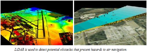
The 3D Elevation Program (3DEP) initiative is being developed to respond to growing needs for high-quality topographic data and for a wide range of other three-dimensional representations of the Nation's natural and constructed features. The primary goal of 3DEP is to systematically collect enhanced elevation data in the form of high-quality light detection and ranging (lidar) data over the conterminous United States, Hawaii, and the U.S. territories, with data acquired over an 8-year period. Interferometric synthetic aperture radar (ifsar) data will be collected over Alaska, where cloud cover and remote locations preclude the use of lidar over much of the State. The 3DEP initiative is based on the results of the National Enhanced Elevation Assessment.
To read more about the 3DEP program, please go to http://nationalmap.gov/3DEP/
Meet our Members...


